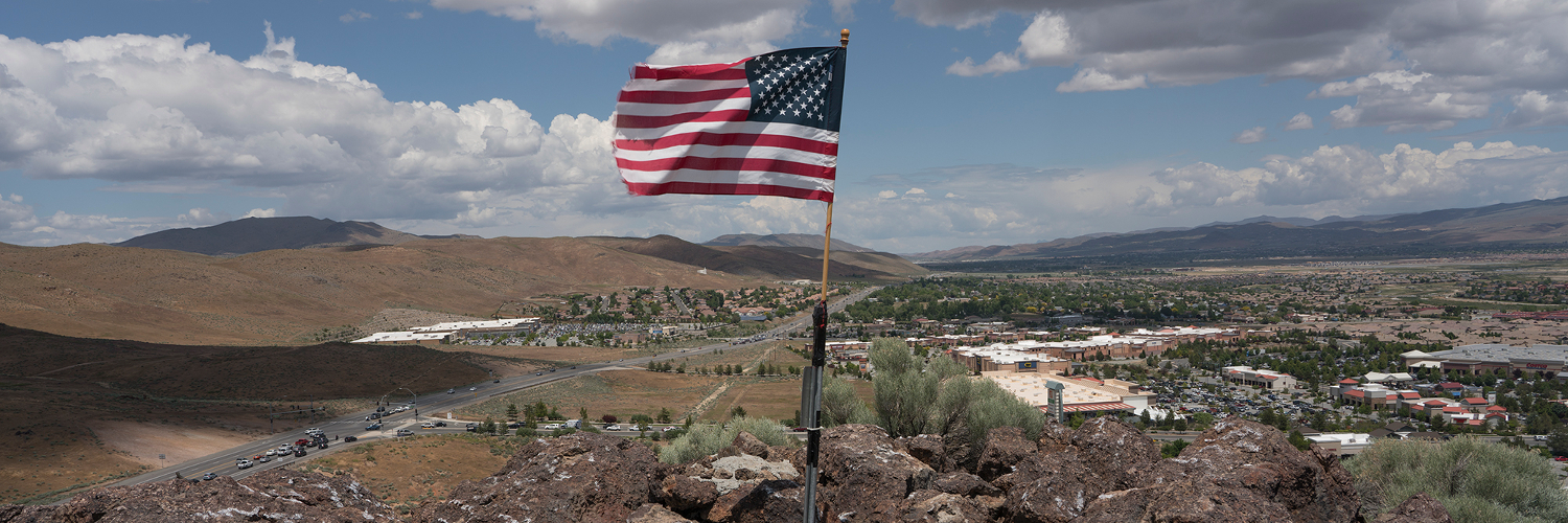
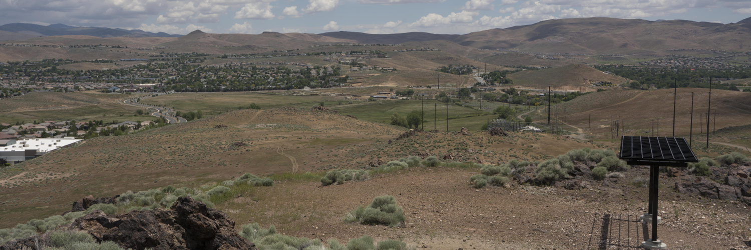
Wedekind Regional Park is largely defined by its rich geologic history and then by its role as a key link to the Sparks Regional Trail System and the surrounding neighborhood urban trail system. Additionally, as Sparks has become more developed, the park is now one of the last remaining areas of significant open space within the city.
The parks geologic history begins 16 million years ago when the region was overrun with volcanic eruptions, creating a very different landscape from what we see today. This was followed by a broad band of geothermal activity across what is now the Reno/Sparks metro area, connecting Peavine Mountain and Shadow Mountain. All of the geothermal activity that existed in the area changed the composition of the volcanic rock in a process called hydrothermal alteration. Hydrothermal alteration occurs when hot, sulfurous water and steam moves along the faults and permeable layers of the rocks, changing the landscape once again. The current landscape is capped by quartz-alunite, a hard, erosion-resistant type of natural alteration found throughout Western Nevada. The weathering also exposed oxides of iron and manganese, which created the spectacular colors seen in the region’s rocks and hills.
These hydrothermal alterations and processes are often associated with proximity to gold and silver mines. It was the understanding of this relationship that brought George Wedekind to the area in 1895. He began carefully prospecting the hills in the area and before long, he struck silver, gold, and lead ore; this area became Wedekind mine and can be seen across the street from Wedekind Regional Park.
Wedekind’s success inspired others to stake their own claims nearby and by 1900 there were nearly 50 exploratory tunnels throughout the area. It was also around this time, 1901, that Wedekind sold his mine to Nevada Governor John Sparks for $175,000. Unfortunately for the Governor, the abundant mining excavations had began to take their toll on the landscape and when the miners reached a depth of 230ft they encountered large amounts of acidic water and hydrogen sulfide gas. Due to the serious hazards these chemicals posed to the miners the mine was soon closed.
In more recent history, the park has officially marked the completion of its new trailhead facilities and its trail system upgrades to the 250 acre parcel of land found on the site. The trail system upgrades included construction of a parking lot at the Disc Drive Trailhead, revegetation, rehabilitation of trails, and installation of split rail fencing to discourage off-highway vehicle usage and illegal dumping. The parks 4th Street Trailhead now features an outdoor classroom so students can have an interactive learning experience in nature to gain deeper understanding of the park’s history with mining.